Geoscientific perspectives on global wetland systems: Between traditional knowledge and cultural heritage
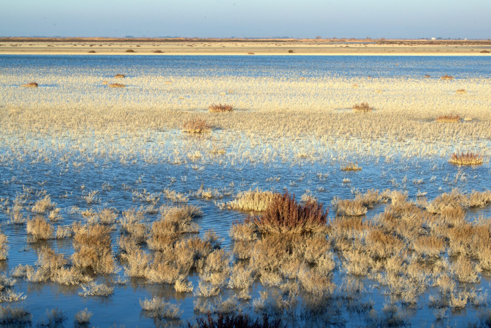
Today marks World Wetlands Day, and this year, the theme is Wetlands and traditional knowledge: Celebrating cultural heritage. Each year, February 2 is a day dedicated to recognising wetlands as places that store carbon, protect water, and hold complex cultural meaning. Wetlands such as mangroves, salt marshes, seagrass beds, peatlands, and floodplains are extremely good at taking carbon out of the atmosphere and locking it away in waterlogged soils. Because these soils remain wet and low in oxygen, dead plant material breaks down very slowly and builds up as layers of organic-rich sediment over long periods. Coastal blue carbon ecosystems are worth special attention here, as they can store more carbon per square meter than many forests on land because they not only grow quickly, but also bury a lot of their organic matter in the mud below. Studies show that mangroves and salt marshes typically bury a few hundred grams of carbon per square meter each year, with seagrass meadows not far behind, while inland wetlands also build up thick deposits of organic material over time. Much of this buried carbon does not come only from the plants growing in the wetland itself, but from organic matter washed in from neighboring habitats by tides, waves, and river flows. This means we need to manage coastal and river systems together, rather than protecting each wetland in isolation. However, the same wet, oxygen-poor conditions that help wetlands store carbon also promote the production of methane, a greenhouse gas much more powerful than carbon dioxide over the short to medium term. Microscopic organisms called methanogens live in these saturated soils and produce methane as they break down organic matter. The methane they release has a particular chemical fingerprint, which helps scientists identify how much is coming from wetlands rather than from fossil fuel use. Since around 2007, global measurements have shown both rising methane levels and a shift in this fingerprint that points strongly to increasing emissions from biological sources such as tropical wetlands. Climate patterns like El Niño can change rainfall and flooding, which temporarily expand or shrink wetland areas and alter methane emissions from year to year. As the planet warms, microbes work faster and frozen ground in the north thaws, exposing old carbon stores; together, these processes may create feedback loops that make warming stronger, but the exact size of this effect is still uncertain. Water, landforms, and wetland history Wetlands are defined not only by their plants and soils, but by how water moves through and around them. Many wetlands sit at the meeting point of surface water and groundwater. At times, they receive water from underground, at other times they send water down into aquifers, and often they act as throughflow zones where water enters on one side and leaves on the other. In dry regions, some wetlands depend almost entirely on groundwater inputs, which makes them very vulnerable to changes in rainfall and groundwater pumping. Even small, apparently isolated ponds in the landscape can be connected below the surface. When the land is very wet, one depression can fill and then overflow underground or over the surface, sending pulses of water, nutrients, sediment, and even seeds or small animals to other depressions. In areas shaped by past glaciers, groundwater-fed peatlands often keep a nearly constant, cool temperature and host bacteria that remove excess nitrate from the water, helping to keep downstream rivers cleaner and providing refuge for cold-water fish and other species. On a larger scale, wetlands protect people and ecosystems from extreme events. Floodplain and headwater wetlands soak up heavy rains and snowmelt like sponges. This slows the flow of water and lowers peak floods downstream. In coastal zones, salt marshes and mangroves act like rough, living barriers that reduce the force and height of storm surges and waves before they reach towns and infrastructure. These coastal wetlands also trap and build up sediment, which can help the wetland surface rise as sea levels rise. But when sea level rises too quickly, or sediment supply is cut off by dams, levees, or other changes, these wetlands can drown, losing elevation and the protection they once provided. To counter this, some coastal managers now deliberately open sea walls or dikes in carefully chosen places so tides can re-enter former marsh areas, allowing new sediment to settle and new wetlands to form. Wetlands also keep a long memory of environmental change in their sediments. Peatlands slowly accumulate partially decayed plant material layer by layer, preserving a record of which plants were present, how wet the site was, and how often fires occurred over thousands of years. In many parts of the world, these peat layers have later been buried under glacial debris, marine sediments from rising seas, or wind-blown sands. These hidden peats still hold large amounts of carbon, but because they are out of sight, they are often left out of global carbon accounts. If road building, mining, or other earthworks expose them to air, they can quickly become sources of greenhouse gases, instead of long-term carbon stores. In coastal lowlands, scientists use sediment cores, chemical markers, and stable isotopes to reconstruct how landscapes have changed as sea levels have risen since the last ice age. These studies show how dry land has gradually given way to salt marshes and mangrove forests as the shoreline moved inland. As long as these buried layers remain waterlogged and undisturbed, the carbon they contain remains locked away. Ice cores from the polar regions add another piece of the story by trapping ancient air bubbles. These records reveal that past warm periods were associated with sharp increases in methane likely linked to expanding wetland areas, highlighting how strongly wetlands and climate can affect each other over long timescales. Modern tools now allow researchers to see inside wetlands without digging many holes. Ground-penetrating radar sends electromagnetic waves into the ground and records the echoes produced when the waves pass from one type of material to another. Because wet peat and the mineral sediments beneath it have very different electrical properties, the radar can reveal where peat ends, and mineral soil begins and can show internal layers within the peat. Electrical resistivity imaging adds further detail by measuring how easily electric currents move through the subsurface; wet, mineral-rich clays conduct electricity quite well, whereas peat tends to be more resistant. Using these methods together, scientists have mapped how peat-filled basins grew and merged over time and how buried ridges and hollows shape where water flows today. Wetland in Doñana, near El Rocío (SW Spain)Image by Antonio JordánSource: Imaggeo Satellite and airborne sensors extend this picture across entire regions. Laser-based LiDAR sensors measure the height of the ground and vegetation very precisely, helping to identify even small depressions and forested wetlands that are hard to see in normal aerial photos. When combined with images that capture different wavelengths of light, including those beyond human vision, and analysed with modern AI techniques such as deep learning and graph-based models, these data can separate different wetland types that look similar to the naked eye. In several regions, such approaches have mapped how wetlands have expanded, shrunk, or changed in vegetation over the past 20 years or more, supplying crucial information for restoration and regulation. The history of the Donaumoos fen in Bavaria shows what happens when wetlands are heavily altered over centuries. In the late 1700s, drainage canals and the straightening of the Danube River were introduced to convert the peatland into farmland. As the drainage network grew, water levels in the peat dropped, the soil dried, and microbes began breaking down the previously waterlogged organic matter. This led to peat shrinkage and the gradual sinking of the land surface, a process known as subsidence. At the same time, the straightened river brought fewer natural floods and less fresh sediment to the floodplain, further degrading habitats. Today, efforts are underway to raise water levels and reintroduce controlled flooding in parts of the area, but existing farms, roads, and social expectations around land use make it difficult to fully restore the original wetland functions. Policy, culture, and the future of wetlands International agreements are slowly catching up to the importance of wetlands. The Ramsar Convention on Wetlands, first signed in 1971, has become the main global treaty dedicated to protecting these ecosystems. At its fifteenth major meeting in 2025, held in Victoria Falls, countries agreed that wetlands must be central to dealing with the triple crisis of climate change, biodiversity loss, and pollution. They committed to push for wetland protection and restoration into climate adaptation plans, disaster risk strategies, and development policies, and they highlighted peatland and mangrove restoration as key nature-based solutions. Despite this, global assessments show that wetlands are disappearing faster than forests. Since about 1970, at least around a fifth and likely over a third of natural wetlands have been lost, and many of those that remain are degraded by drainage, pollution, infrastructure, and climate impacts. While man-made wetlands such as rice fields and reservoirs have expanded in area, they often lack the rich biodiversity and full range of benefits that natural wetlands provide. This ongoing decline is a major driver of species loss and reduces nature’s ability to protect people from floods, droughts, and storms. The World Wetlands Day 2026 theme places traditional and Indigenous knowledge at the center of the response. In many regions, communities have lived with wetlands for thousands of years, developing detailed understandings of seasonal water patterns, soil behavior, and ecological thresholds. Their practices, whether in fishing, floodplain farming, reed harvesting, or ritual use, maintain wetland health while also supporting livelihoods and culture. International guidance now stresses that these communities must be recognised not just as stakeholders but as rights-holders and knowledge-holders whose leadership is essential. Final reflections Bringing advanced science and technology together with this place-based wisdom can change how we think about wetland futures. When sediment cores, hydrological models, geophysical images, and AI-enhanced maps are used alongside community-led monitoring and local narratives, wetlands emerge not only as carbon stores and water regulators but also as cultural landscapes and political spaces. World Wetlands Day 2026 is thus an opportunity to reframe wetland science as a collaborative effort: one that uses cutting-edge tools to support, rather than replace, the long-standing care and insight of the people who have lived with wetlands for generations.