Joyce Bell 🇺🇦🇨🇦🇲🇽🇬🇱
and 1 other
boosted


Joyce Bell 🇺🇦🇨🇦🇲🇽🇬🇱
boosted

Joyce Bell 🇺🇦🇨🇦🇲🇽🇬🇱
boosted

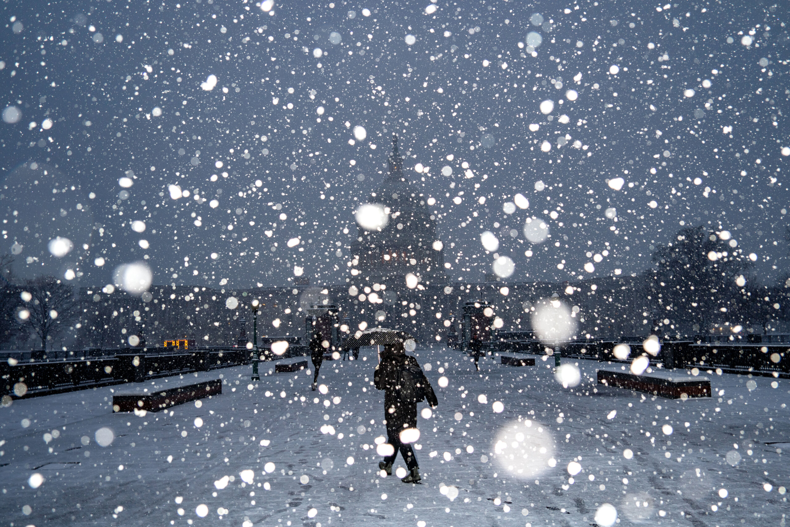
#DCwx #MDwx #VAwx #SevereWeather
From WTOP.com: ‘Major’ weekend snow forecast for DC area, with more than 8 inches likely in places
FinchHaven sfba
boosted
4 E Accident [Garrett Co, MD] Public reports Snow of 2.10 inch at 5:00 PM EST --
https://mesonet.agron.iastate.edu/lsr/?by=wfo&wfo=LWX&sts=202601212200&ets=202601212200
4 E Accident [Garrett Co, MD] Public reports Snow of 2.10 inch at 5:00 PM EST --
https://mesonet.agron.iastate.edu/lsr/?by=wfo&wfo=LWX&sts=202601212200&ets=202601212200
#DCwx #MDwx #VAwx #SevereWeather
From WTOP.com: ‘Major’ weekend snow forecast for DC area, with more than 8 inches likely in places
@ai6yr Hmm…Well, that doesn’t look good…via WeatherMate. #VAwx #CarolineCounty

Joyce Bell 🇺🇦🇨🇦🇲🇽🇬🇱
boosted
