Discussion
Loading...

Post

Log in
  • About
  • Code of conduct
  • Privacy
  • About Bonfire
Historical maps
Historical maps
@maps@stefanbohacek.online  ·  activity timestamp 5 days ago

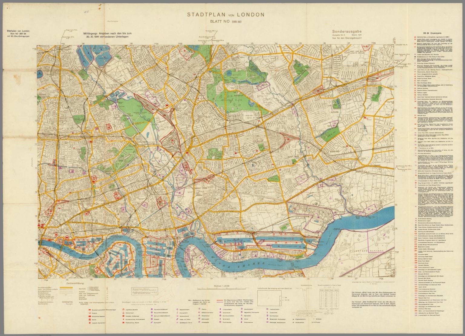
Stadplan von London, Blatt NO (BB 29). (Map of London, Northeast Sheet (BB 29)). Sonderausgabe, Ausgabe Nr. 2. Stand: 1941. (Special Edition, Issue No. 2. Date: 1941). Nur fur den Dienstgebrauch! (Only for internal use only!). Militargeogr. Angaben nach den bis zum 30. XI. 1941 vorhandenen Unterlagen. (Militargeogr. Information as of November 30,1941 Existing documents). Generalstab des Heeres. Abtteilung fur Kriegskarten und Vermessungswesen (IV. Mil. Geo.) (General Staff of the Army. Department for War Maps and Surveying (IV. Mil. Geo.)). Published in 1940. https://www.davidrumsey.com/luna/servlet/detail/RUMSEY~8~1~275461~90055202

#map #maps #HistoricalMaps

A 1940 map from the website linked in the post.

Verify Access

  • Copy link
  • Flag this post
  • Block

BT Free Social

BT Free is a non-profit organization founded by @ozoned@btfree.social . It's goal is for digital privacy rights, advocacy and consulting. This goal will be attained by hosting open platforms to allow others to seamlessly join the Fediverse on moderated instances or by helping others join the Fediverse.

BT Free Social: About · Code of conduct · Privacy ·
Bonfire social · 1.0.1 no JS en
Automatic federation enabled
Log in
  • Explore
  • About
  • Code of Conduct